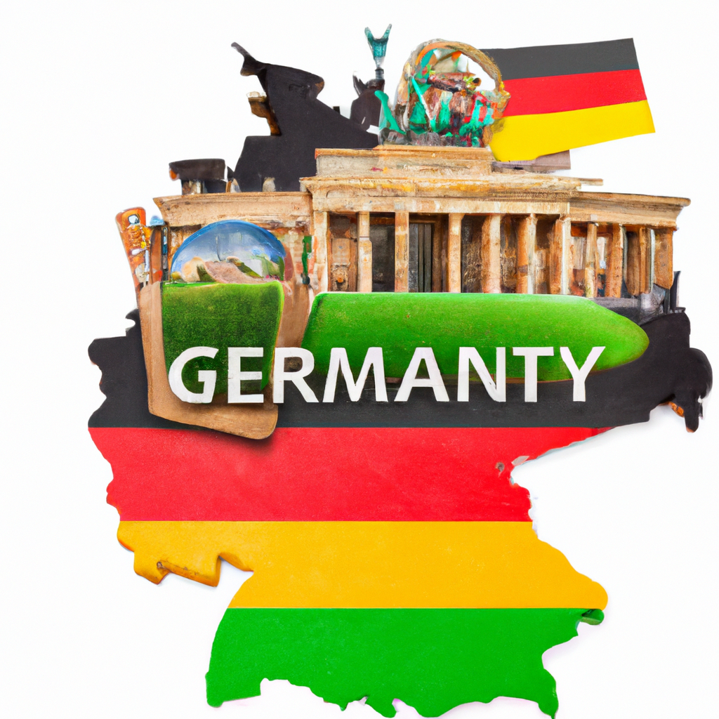
What's the best way to navigate through German cities?

Post ByAdequate Travel
Summary
Are you planning an upcoming trip to a German city? If so, you need to know the best way to navigate through the streets and get to where you need to go. In this blog post, we'll cover the different methods of navigating in German cities, from public transport to walking around the city, and work out the best way to get around.The best way to navigate through German cities is by using a combination of public transportation, walking, and using reliable navigation tools. Here is a detailed explanation of each method with examples:1. Public Transportation:Germany has an excellent public transportation network, including trains, trams, buses, and subways. Public transportation allows you to reach various parts of the city quickly and conveniently. The following are commonly used methods of public transportation in German cities:- Trains: Deutsche Bahn (DB) is the national railway company in Germany, offering regional and long-distance train services. It is an efficient way to travel between cities and even within larger German cities.Example: If you need to go from Frankfurt to Munich, you can take a high-speed train (ICE) operated by Deutsche Bahn. This allows for a comfortable and fast journey.- Trams and Buses: Most major German cities have tram and bus systems that cover extensive areas, reaching both city centers and surrounding neighborhoods. They are an excellent way to move within a city.Example: In Berlin, you can use the tram or bus to travel from one neighborhood to another, accessing popular sights like Brandenburg Gate or Museum Island.- Subways and Undergrounds: Large cities such as Berlin, Munich, and Hamburg have efficient subway and underground systems that can take you quickly and directly to various destinations.Example: In Munich, you can travel on the U-Bahn to visit the Marienplatz square, the Allianz Arena, or the English Garden.2. Walking:Walking is a great way to explore smaller German cities or to reach nearby attractions within a larger city. Many German cities have well-maintained sidewalks and pedestrian-friendly zones that make strolling around enjoyable and safe.Example: In smaller cities like Heidelberg, you can easily walk from the Hauptstraße (main street) to the famous Heidelberg Castle, enjoying the picturesque old town along the way.3. Navigation Tools:To navigate through German cities efficiently, it is crucial to have reliable navigation tools at hand. Here are some popular options:- Mobile Apps: Utilize navigation apps like Google Maps, Apple Maps, or HERE WeGo. These apps provide precise directions and real-time updates, including public transportation options, walking routes, and estimated travel times.Example: Use Google Maps to find the quickest bus or tram connections in Hamburg to reach the Miniatur Wunderland or the Elbphilharmonie.- City Maps: Most German cities offer free or low-cost maps at tourist information offices or hotels. These maps provide an overview of the city's layout, highlight tourist attractions, and may indicate public transportation routes.Example: Pick up the "München Navigator" at the Munich Tourist Information Center near the central station. This map provides detailed information about the city's transportation network.In summary, the best way to navigate through German cities is by utilizing public transportation, walking when feasible, and relying on navigation tools like mobile apps or city maps. This combination will help you efficiently explore the cities and make the most of your visit.
Suggested Questions
- Festung Marienberg, Würzburg: Horror Story, History & Paranomial Activities
- Burg Satzvey, Mechernich: Horror Story, History & Paranomial Activities
- Schloss Bensberg, Bergisch Gladbach: Horror Story, History & Paranomial Activities
- Königsberg Castle, Königsberg: Horror Story, History & Paranomial Activities
- Andernach Geysir, Andernach: Horror Story, History & Paranomial Activities
- Burghausen Castle, Burghausen: Horror Story, History & Paranomial Activities
Questions germany
You may also like

Top 10 Famous Places to Eat in Germany
You don’t need to think about your hunger while your trip as this country is loaded with the best places to eat in Germany. In every town here you will witness a wide scope of restaurants, running from exclusive gourmet … Continue reading
The post Top 10 Famous Places to Eat in Germany appeared first on World Tour & Travel Guide, Get Travel Tips, Information, Discover Travel Destination | Adequate Travel.
Read More
Top 10 Best Things to do in Germany | What to do in Germany
If you are searching for what to do in Germany then you are at the right place as Forested and hilly, the nation of Germany, or Deutschland if you like, bring back your memories of long strolls in excellent woodlands … Continue reading
The post Top 10 Best Things to do in Germany | What to do in Germany appeared first on World Tour & Travel Guide, Get Travel Tips, Information, Discover Travel Destination | Adequate Travel.
Read More
Most Interesting Facts about Germany | Germany Facts and Information
How well do you know Germany? Here is a blend of useful and interesting facts to get familiar with Germany or test your German facts and information. Germany is situated in western-central Europe and is home to 80.3 million individuals. … Continue reading
The post Most Interesting Facts about Germany | Germany Facts and Information appeared first on World Tour & Travel Guide, Get Travel Tips, Information, Discover Travel Destination | Adequate Travel.
Read More
Top 10 Best Restaurants in Germany Worth to Visit
Germany is one of the best nations in Europe which offers the best dining experience. In the last 20 years, Michelin examiners have beaten a way to Germany’s best eateries and managed stars left, center and right. The nation is … Continue reading
The post Top 10 Best Restaurants in Germany Worth to Visit appeared first on World Tour & Travel Guide, Get Travel Tips, Information, Discover Travel Destination | Adequate Travel.
Read More
Hotels Close to Berlin Tegel Airport | Hotels Near Tegel Airport Berlin Germany
Berlin Tegel Airport is the main international airport in Berlin and also the federal capital of Germany. you’re bound to find somewhere on this hotel list near Berlin Brandenburg that has everything you’re looking for a pleasant stay in the … Continue reading
The post Hotels Close to Berlin Tegel Airport | Hotels Near Tegel Airport Berlin Germany appeared first on World Tour & Travel Guide, Get Travel Tips, Information, Discover Travel Destination | Adequate Travel.
Read More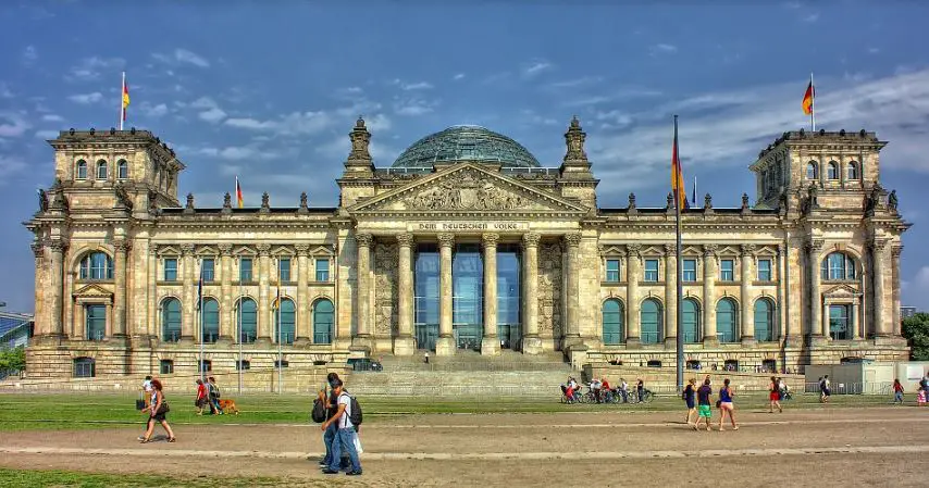
Best Cities to Visit in Germany | Major Cities in Germany
From modern, cosmopolitan Berlin to the medieval streets of Rothenburg ob der Tauber, there are many cities in Germany, each with their unique set of attractions, sights, and even cuisines. Famous for its cathedrals and palaces, Germany is the 7th … Continue reading
The post Best Cities to Visit in Germany | Major Cities in Germany appeared first on World Tour & Travel Guide, Get Travel Tips, Information, Discover Travel Destination | Adequate Travel.
Read More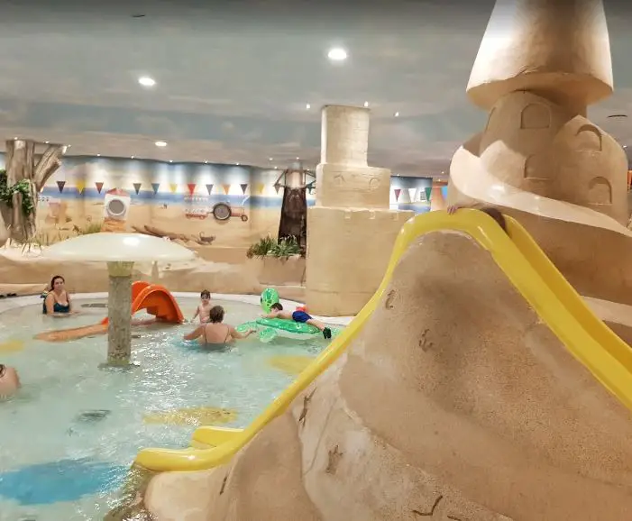
Top Water Park in Berlin Germany | Best Aqua Park in Berlin
We found many famous water parks in Berlin within a radius of 150km. If you book these water parks online make it so convenient. You can also compare all online reviews from several popular websites – and created an aggregated review … Continue reading
The post Top Water Park in Berlin Germany | Best Aqua Park in Berlin appeared first on World Tour & Travel Guide, Get Travel Tips, Information, Discover Travel Destination | Adequate Travel.
Read More
Top 10 Foods to Eat in Bonn | Famous Foods of Bonn, Germany
Bonn is a very adorable city where you can find perfect greenery to relax and enjoy your food under the soothing breeze of trees and green lands. Most of the best food in Bonn is served in restaurants having a … Continue reading
The post Top 10 Foods to Eat in Bonn | Famous Foods of Bonn, Germany appeared first on World Tour & Travel Guide, Get Travel Tips, Information, Discover Travel Destination | Adequate Travel.
Read More
10 Best Things to Buy in Bonn, Germany | What Souvenirs to Buy in Bonn
There are various items to explore Bonn’s history and its legacy in different sectors of the industry. Bonn after being the oldest city of Germany has maintained lots of epic relics from its past that you can bring back home … Continue reading
The post 10 Best Things to Buy in Bonn, Germany | What Souvenirs to Buy in Bonn appeared first on World Tour & Travel Guide, Get Travel Tips, Information, Discover Travel Destination | Adequate Travel.
Read More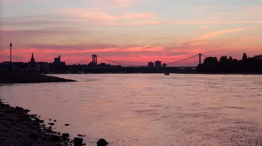
Top 6 Beaches in Bonn, Germany | Best Beaches to Visit in Bonn
There aren’t many beaches in Bonn but you can explore some of their lakesides and some nearby Rhine river popular beaches in Bonn that are usually incredible in having a city escape for experiencing the best sunny weather and sandy … Continue reading
The post Top 6 Beaches in Bonn, Germany | Best Beaches to Visit in Bonn appeared first on World Tour & Travel Guide, Get Travel Tips, Information, Discover Travel Destination | Adequate Travel.
Read More