
How do I navigate the transportation system in Canadian cities?

Post ByAdequate Travel
Summary
Finding your way around a Canadian city can be daunting, especially when it comes to the transportation system. From buses to trams, each city has its own unique network of transportation methods and strategies. This blog explains everything you need to know about navigating the transportation system in Canadian cities. Before embarking on your journey to canada, make sure to check the latest travel guidelines and entry requirements to ensure a smooth trip1. Research the Transportation Options
Before traveling to a Canadian city, it is essential to research the available transportation options to understand how to navigate efficiently.
2. Public Transit
Canadian cities typically have well-developed public transit systems, including buses, subways, trains, and light rail systems. Here are a few examples:
- Toronto: The Toronto Transit Commission (TTC) operates a subway system, buses, and streetcars.
- Vancouver: TransLink provides buses, SkyTrain (automated light rapid transit), SeaBus, and the West Coast Express commuter train.
- Montreal: Société de transport de Montréal (STM) operates an extensive network of buses and a metro system.
3. Obtain Transit Maps and Schedules
Obtain transit system maps and schedules either online (official websites of the transit authority) or at transit centers, subway stations, or tourism information centers within the city.
4. Determine the Fares
Each city may have different fare structures and payment methods. Common options are:
- Single-ride tickets: Pay for each trip separately.
- Passes: Daily, weekly, or monthly passes offering unlimited rides within a specific time period.
- Contactless payment: Use credit cards, debit cards, or mobile payment apps to tap and pay for trips.
5. Use Transit Apps or Websites
Transit apps or websites can provide real-time information on routes, schedules, and service disruptions. Popular transit apps in Canada include:
- Transit: Available for multiple Canadian cities, providing real-time data, trip planning, and accurate arrival predictions.
- Google Maps: Offers transit directions, schedules, and the ability to plan multi-modal trips.
6. Plan Your Trip
Prior to your journey, plan your trips using the available resources. Consider the following:
- Timings: Check the frequency of buses, subways, or trains to create a travel itinerary.
- Transfers: Understand where and how often transfers may be required to reach your destination.
7. Be Aware of Rush Hour
During peak hours, public transit systems can be more crowded and may run at higher frequencies. Plan accordingly, especially if you need to reach your destination on time.
8. Know Local Customs and Etiquette
Being aware of local customs and etiquette can help in navigating the transportation system smoothly. Consider:
- Give up seats for elderly, pregnant individuals, or people with disabilities.
- Let passengers exit before boarding.
- Keep conversations and music volume at a considerate level.
9. Explore Alternative Options
Depending on the city and your preferences, there may be alternative transportation options to consider:
- Biking: Many Canadian cities have bike-friendly infrastructure and bike-sharing programs.
- Ride-sharing: Services like Uber and Lyft operate in several cities.
Remember, specific transportation instructions may vary by city. It is best to check official transit websites or seek local advice for accurate and up-to-date information.While planning your trip, take note of any travel restrictions that may impact your itinerary, such as limited access to certain regions or attractions.Suggested Questions
- Bellevue Underground Mine - Crowsnest Pass, Alberta: Horror Story, History & Paranomial Activities
- Fort Erie - Fort Erie, Ontario: Horror Story, History & Paranomial Activities
- Acadia University - Wolfville, Nova Scotia: Horror Story, History & Paranomial Activities
- Glenlyon Norfolk School - Victoria, British Columbia: Horror Story, History & Paranomial Activities
- St. Andrews Rectory - St. Andrews, Manitoba: Horror Story, History & Paranomial Activities
- Huron Historic Gaol - Goderich, Ontario: Horror Story, History & Paranomial Activities
Questions canada
You may also like

Do I need to register with the local health authority upon arrival on Canada to get medical treatment?
Navigating through Healthcare in Canada: A Complete Guide to Registering with Local Health Authorities for Medical Treatment in Canada
Read More
What are the best places to stargaze in Canada with minimal light pollution?
Wanna Stargaze in Canada? Here is the list of the top 10 places to stargaze in Canada and explore the cosmos in pristine darkness.
Read MoreAre there any endangered species in Canada that I can see while visiting?
From Vancouver Island marmot to Banff Springs snail, here is the complete list of endangered species in Canada. Discover where and how to responsibly view these endangered animals in Canada.
Read More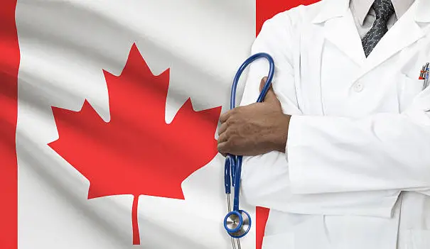
Can I get emergency medical treatment in Canada without insurance?
Know everything about Emergency Medical Treatment in Canada. Criteria for taking Emergency Medical Treatment in Canada Without Insurance
Read More.jpg)
Can I travel to Canada for medical treatment without a visa?
Traveling to Canada for medical treatment? Here is the list of criteria to fulfill to visit Canada for medical treatment without a visa
Read More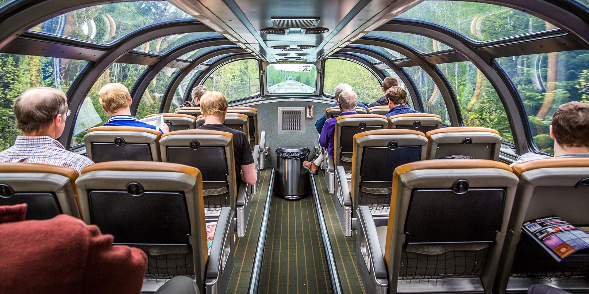
Discover the Beauty of Canada by Train
Have you ever contemplated a novel approach to exploring Canada? Here is your chance to behold the spectacular sights of the country by taking a train ride.
Read More
Top 10 Things to do in Canada | What to do in Canada
With geology as assorted as its history and individuals, Canada is an energizing nation to investigate and is several tourist activities in Canada. Scarcely any spots on earth have common ponders as remarkable as Canada. Across the nation, every region … Continue reading
The post Top 10 Things to do in Canada | What to do in Canada appeared first on World Tour & Travel Guide, Get Travel Tips, Information, Discover Travel Destination | Adequate Travel.
Read More
Top 10 Best Places to Eat in Canada | Canada Top Eateries
Canadian food is very complicated to understand but too easy to eat. Canadian food is comprised of a blend of different cooking styles, all coming from different regions, In this article, we will cover the best places to eat in … Continue reading
The post Top 10 Best Places to Eat in Canada | Canada Top Eateries appeared first on World Tour & Travel Guide, Get Travel Tips, Information, Discover Travel Destination | Adequate Travel.
Read More
Famous Monuments in Canada | Most Visited Monuments in Canada
With regard to famous monuments, Canada has a lot to choose from. Because this is a large and diverse nation, there are numerous monuments in Canada. Ten million sq km area makes Canada a vast country and the second biggest … Continue reading
The post Famous Monuments in Canada | Most Visited Monuments in Canada appeared first on World Tour & Travel Guide, Get Travel Tips, Information, Discover Travel Destination | Adequate Travel.
Read More
Interesting Facts about Canada | Canada Facts and Information
What do you think about Canada? Here’s the list of some Interesting facts about Canada and Canadians that you most likely didn’t have known about it. Below down you can read some general information, for example, complete population, most noteworthy … Continue reading
The post Interesting Facts about Canada | Canada Facts and Information appeared first on World Tour & Travel Guide, Get Travel Tips, Information, Discover Travel Destination | Adequate Travel.
Read More